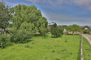


The stand under green grass and trees in full leaf, with the pole fence along the road
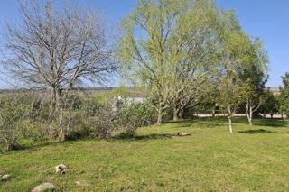
The stand under lawn and trees, some bare and some in new leaf, with a village roof beyond
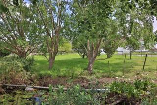
Trees in leaf over the lawn, with arum lilies and open water in front
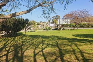
Mown grass under the long shadows of the trees, with the road and village houses beyond
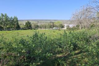
Young shrubs across open grass, with farmland and hills on the horizon
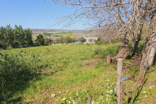
Fence poles and bare trees along the grass, with farmland beyond
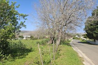
The paved road along the boundary, lined with trees and fence poles
The paved road past the stand, with a neighbouring house behind a white wall
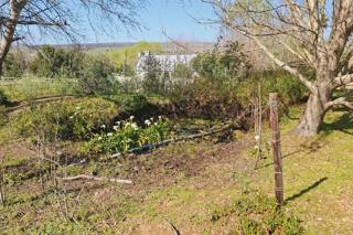
Arum lilies in a hollow among the trees, with a village roof beyond
The concrete leiwater trough in the grass
The Erfdevco sale board on the pole fence

 Show Contact Number
 WhatsApp Agent